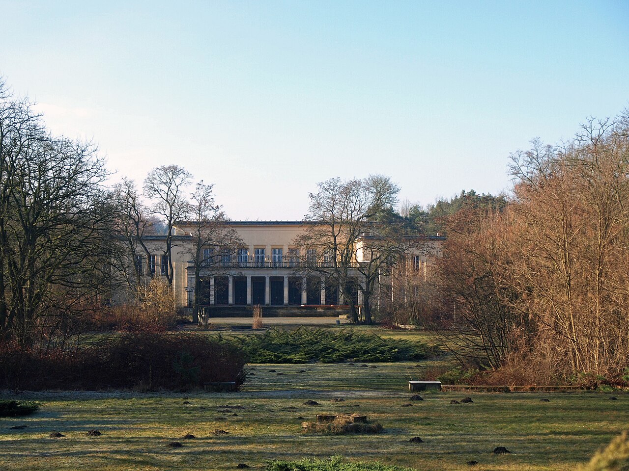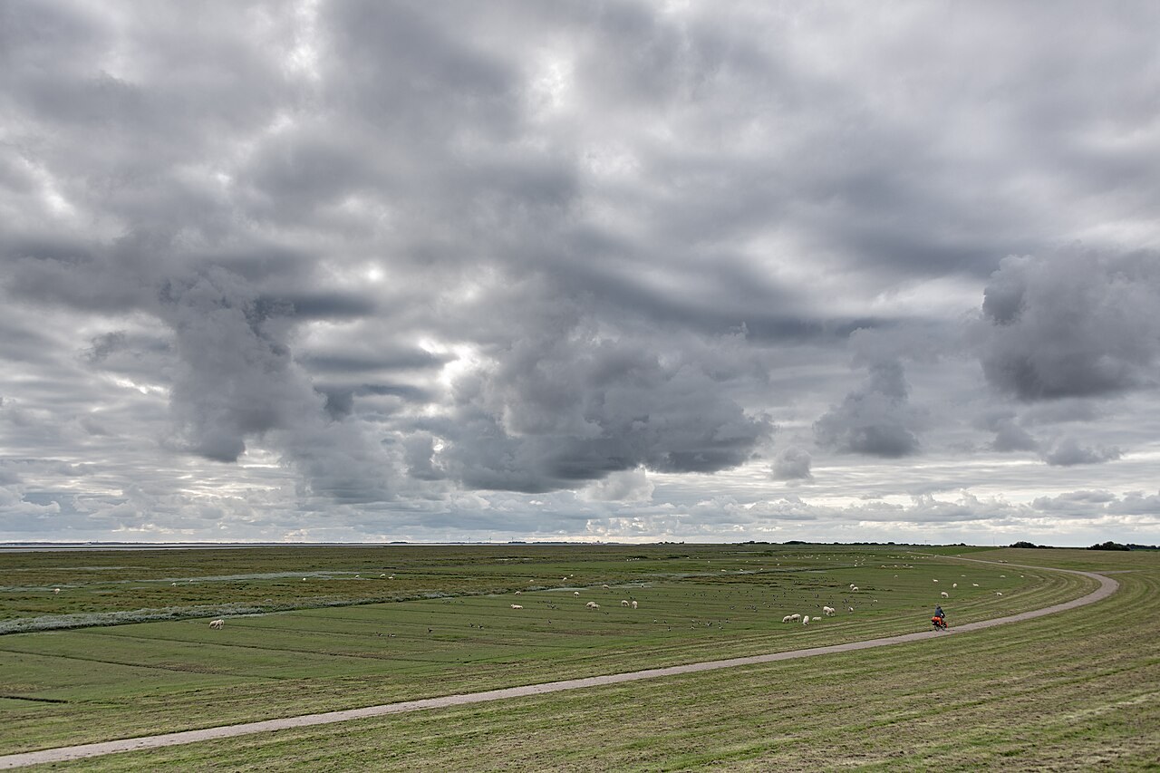
Briesetal is a Barnim nature destination for which the nature park provides a dedicated information leaflet and map. Birkenwerder municipality also explains its landscape and exploration. From accommodation around Wandlitz, treat it as a distinct outing. Check the approach and choose a specifically described section instead of assuming the entire valley forms one short circuit.
Turn an overview into a suitable route
A regional map helps explain the setting. For your day, the precise entry point, permitted path and understandable return are what matter next. If using a published tour, read its notes and the publication date too.
Decide between a circuit and an out-and-back walk. A short section may provide enough for a first impression. A crossing shown on a map needs checking for current usability before becoming the essential link in a shortcut.
Experience wetland from the path
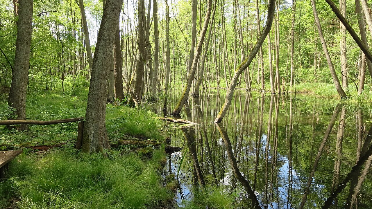
Water and wet areas form part of the valley landscape. Observe the transition between water, plants and trees from intended routes. Soft ground alongside a path is not a bypass when a section seems unsuitable.
After rain or where closures apply, change or shorten the route. Turning back protects both your group and the setting. Do not try to replace a closed connection by searching independently across the ground.
Quiet observation rather than guaranteed sightings
Official information helps explain the valley as habitat. It does not mean a particular animal will appear during your visit. Look at structures and signs without attracting wildlife or entering potential refuges.
Carry food needing no preparation at an appropriate stopping place, and take your rubbish away for disposal in suitable bins outside the landscape. A short, attentive encounter with the valley needs no extra task such as collecting objects or taking as many photographs as possible.
Common questions
Is an older map sufficient preparation?
It can help with orientation. Also check current notices, closures and important crossings before turning it into a fixed day plan.
Can an unusable path be bypassed alongside it?
Only where a permitted signed alternative exists. Do not create your own diversion through wet vegetation or sensitive ground.